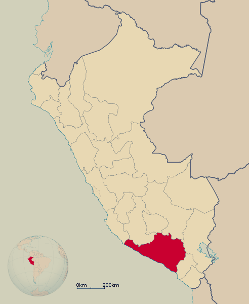
Arequipa
It is located four hours away from Arequipa City. The road to the valley runs across the slopes of the Chachani volcano, the Salinas Aguada Blanca National Reserve and fields where alpacas and viscachas feed on ichu and yareta (shrub-like plants that are also used as fuel). The highest point of the valley is at 4,350 meters (14,271 feet) above sea level.
The valley hosts the archaeological legacy of ancient inhabitants of the region named the Collagua people, including mysterious cave drawings and caves with containers for cereal storage. It is a perfect spot for camping and hiking.
40 km (25 miles) from Chivay, the first town on the road, there is a natural viewing spot from where tourists can watch the condors flying around the Coropuna and Ampato volcanoes. Also from this spot, tourists can view the canyon area with a depth of 4,160 meters (13,648 feet) at its lowest point, making it the deepest in Peru.